


Report by Jeff Bauer
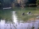
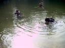
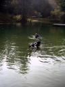
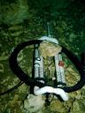
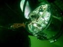
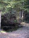
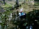
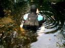
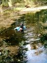
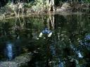
Team of Jason Ottinger and Jeff Bauer scootered upstream and dropped the radio locate beacon on top of the breakdown pile at approximately 2,200 feet. This is currently where the old white line picks back up and runs parallel to the new gold kermantle line for another 600 to 800 feet. Meanwhile on the surface, Mike and Sandra Poucher located the beacon above ground near the Camp's horse facility. Later that afternoon Mike, Sandra and Jeff checked out the Robert's sink that was radio located adjacent to the end of the line on the downstream side. Mike, with the Robert's blessing and interest, dove the tannic-stained small sink and was unable to locate an entrance into the downstream. We then followed a lead by the Robert's to another sinkhole approximately 1/2 mile north which proved to not have an aquifer connection.
Report by Rick Crawford
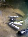
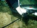
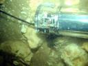
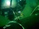
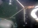
Bill Main, Doug Chapelle and myself went downstream and measured 4 ways at 800, 900, 1000, 1100, 1200, 1400, 1500, 1600 and1700 ft marks. Accomplished this by using hand-held sonar supplied by Michael.
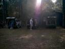
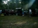
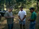
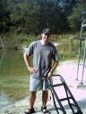
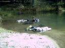
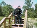
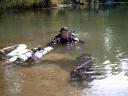
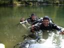
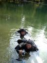
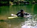
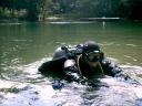
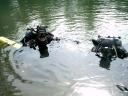
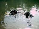
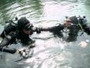
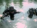
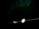
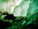
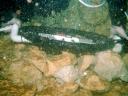
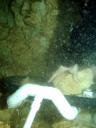
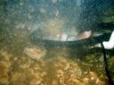
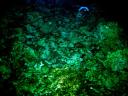
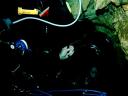
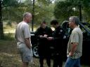
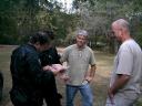
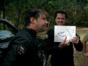
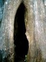
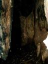
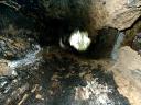
Photos by Jeff Bauer and Sandra Poucher